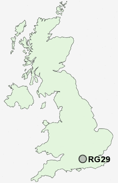
Postcode : RG29, Hampshire
Postcodes in the RG29 sector. Covering areas such as Hillside, Rye Common, Well, Long Sutton, Potbridge, Broad Oak, Whitehall, Colt Hill, Odiham, North Warnborough, South Warnborough, Greywell and Hampshire.
Postcode Area RG : Reading
RG29 Postcode Sectors
RG29 Nearby Postcode Districts
GU1 GU10 GU11 GU12 GU13 GU14 GU15 GU16 GU17 GU2 GU21 GU22 GU24 GU3 GU46 GU51 GU52 GU7 GU8 GU9 RG21 RG22 RG23 RG24 RG25 RG27 RG28 RG29
Stations near to RG29
Hook Rail Station about 2.38 miles away.Winchfield Rail Station about 3.12 miles away.
RG29 Schools
Buryfields Infant SchoolMayhill Junior School
Robert May's School
Long Sutton Church of England Primary School
UK Search
Antique Furniture
1000s of pieces of Antique Furniture for sale from British antique dealers.