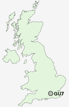
Postcode : GU7, Surrey
Postcodes in the GU7 sector. Covering areas such as Holloway Hill, Westbrook, Farncombe, Aaron's Hill, Hurtmore, Upper Eashing, Godalming, Busbridge, Catteshall, Eashing, Binscombe, Tuesley, Crownpits, Frith Hill and Surrey.
Postcode Area GU : Guildford
GU7 Postcode Sectors
GU7 2 Aaron's Hill, Binscombe, Eashing, Hurtmore, Upper Eashing
GU7 1 Busbridge, Catteshall, Crownpits, Godalming, Holloway Hill
GU7 1 Busbridge, Catteshall, Crownpits, Godalming, Holloway Hill
GU7 Nearby Postcode Districts
GU1 GU10 GU11 GU12 GU13 GU2 GU26 GU3 GU34 GU35 GU4 GU5 GU51 GU52 GU6 GU7 GU8 GU9 KT20 KT23 KT24 RG29 RH3 RH4 RH5
Stations near to GU7
Godalming Rail Station about 0.42 miles away.Farncombe Rail Station about 0.61 miles away.
Milford (Surrey) Rail Station about 2.12 miles away.
Shalford (Surrey) Rail Station about 2.56 miles away.
Guildford Rail Station about 3.55 miles away.
GU7 Schools
Godalming Junior SchoolMoss Lane School
St Hilary's School
Charterhouse
St Edmund's Catholic Primary School
Busbridge Infant School
Green Oak CofE Primary School and Nursery
Loseley Fields Primary School
Broadwater School
Prior's Field School
UK Search
Antique Jewellery
including Antique Engagement Rings for sale from UK Antique specialists.