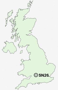
Postcode : SN26, Swindon, Wiltshire
Postcodes in the SN26 sector. Covering areas such as Broadbush, Lower Blunsdon, Broad Blunsdon and Swindon in Wiltshire.
Postcode Area SN : Swindon
SN26 Postcode Sectors
SN26 Nearby Postcode Districts
GL8 OX12 SN1 SN16 SN2 SN25 SN26 SN3 SN4 SN5 SN6 SN7
Stations near to SN26
Swindon Rail Station about 3.15 miles away.SN26 Schools
Bridlewood Primary SchoolSeven Fields Primary School
Abbey Park School
Beechcroft Infant School
Haydon Wick Primary School
Robourne Cheney Primary School
UK Search
Antique Furniture
1000s of pieces of Antique Furniture for sale from British antique dealers.