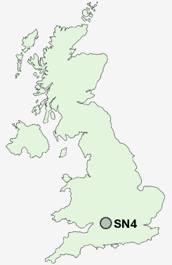
Postcode : SN4, Swindon, Wiltshire
Postcodes in the SN4 sector. Covering areas such as Badbury, Clyffe Pypard, Hook Street, Elm Cross, Bushton, Wootton Bassett, Hodson, Winterbourne Monkton, Green Hill, Chiseldon, Overtown, Greatfield, Ballard's Ash, Tockenham, Broad Hinton and Swindon in Wiltshire.
Postcode Area SN : Swindon
SN4 Postcode Sectors
SN4 0 Badbury, Badbury Wick, Chiseldon, Covingham, Draycot Foliat
SN4 8 Ballard's Ash, Coped Hall, Greatfield, Green Hill, Hook
SN4 8 Ballard's Ash, Coped Hall, Greatfield, Green Hill, Hook
SN4 9 Berwick Bassett, Broad Hinton, Elcombe, Elm Cross, North Wroughton
SN4 7 Broad Town, Bushton, Clyffe Pypard, Cotmarsh, The Barton
SN4 7 Broad Town, Bushton, Clyffe Pypard, Cotmarsh, The Barton
SN4 Nearby Postcode Districts
OX12 RG17 SN1 SN11 SN14 SN15 SN16 SN2 SN25 SN26 SN3 SN4 SN5 SN6
Stations near to SN4
Swindon Rail Station about 2.78 miles away.SN4 Schools
Wroughton Infant SchoolWroughton Junior School
The Ridgeway School
Millbrook Primary School
Toothill Primary School
UK Search
Antique Furniture
1000s of pieces of Antique Furniture for sale from British antique dealers.