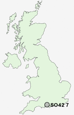
Postcode : SO42 7, Hampshire
Postcodes in the SO42 7 district. Covering areas such as North Weirs, Beaulieu, Hatchet Gate, East Boldre, Setley, Otterwood, South Weirs, Balmerlawn, Furzey Lodge, Brockenhurst, Bucklers Hard, Hill Top and Hampshire.
Postcode Area SO : Southampton
SO42 Postcode Sectors
SO42 7 Nearby Postcode Districts
BH1 BH10 BH11 BH12 BH14 BH15 BH17 BH18 BH2 BH21 BH22 BH23 BH24 BH25 BH3 BH31 BH4 BH5 BH6 BH7 BH8 BH9 PO14 PO15 PO31 PO32 SO14 SO19 SO31 SO41 SO42 SO43 SO45
Stations near to SO42 7
Brockenhurst Rail Station about 1.06 miles away.Sway Rail Station about 1.99 miles away.
SO42 7 Schools
Brockenhurst Church of England Primary SchoolSt Luke's Church of England Primary School
UK Search
Antique Furniture
1000s of pieces of Antique Furniture for sale from British antique dealers.