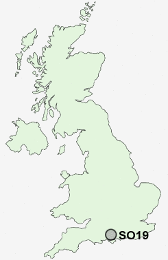
Postcode : SO19, Southampton
Postcodes in the SO19 sector. Covering areas such as Weston, Netley Hill, Weston Common, New Town, Hightown, Sholing Common, Woolston, Thornhill, Itchen, Peartree Green, Sholing, Merry Oak and Southampton in Hampshire.
Postcode Area SO : Southampton
SO19 Postcode Sectors
SO19 6 Hightown, Netley Hill, Thornhill
SO19 2 Itchen
SO19 7 Merry Oak, Peartree Green, Sholing Common
SO19 2 Itchen
SO19 7 Merry Oak, Peartree Green, Sholing Common
SO19 Nearby Postcode Districts
PO13 PO14 PO15 PO16 PO17 PO2 PO3 PO6 PO7 PO8 PO9 SO14 SO15 SO16 SO17 SO18 SO19 SO30 SO31 SO32 SO40 SO42 SO43 SO45 SO50 SO51 SO52 SO53
Stations near to SO19
Sholing Rail Station about 0.6 miles away.Bitterne Rail Station about 1.5 miles away.
Netley Rail Station about 1.94 miles away.
St Denys Rail Station about 2.03 miles away.
Hamble Rail Station about 2.38 miles away.
Bursledon Rail Station about 2.48 miles away.
Swaythling Rail Station about 2.88 miles away.
Southampton Airport Parkway Rail Station about 3.4 miles away.
SO19 Schools
St Monica Junior SchoolThe Sholing Technology College
Chamberlayne College for the Arts
Hightown Primary School
Weston Shore Infant School
Kanes Hill Primary School
Woodlands Community College
Moorlands Primary School
Townhill Infant School
UK Search
Antique Furniture
1000s of pieces of Antique Furniture for sale from British antique dealers.