Postcode : TN27 0, Kent
Postcodes in the TN27 0 district. Covering areas such as Barnfield, Pluckley Thorne, Little Chart Forstal, Charing Hill, Stocker's Head, Charing Heath, Fir Toll, Chamber's Green, Little Chart, Westwell Leacon, Pluckley, Charing, Coppins Corner, Rooting Street and Kent.
Postcode Area TN : Tonbridge
TN27 Postcode Sectors
TN27 0 Barnfield, Chamber's Green, Charing, Charing Heath, Charing Hill
TN27 8 Biddenden, Biddenden Green, Clapper Hill, Curteis' Corner, Fosten Green
TN27 8 Biddenden, Biddenden Green, Clapper Hill, Curteis' Corner, Fosten Green
TN27 0 Nearby Postcode Districts
CT1 CT18 CT4 ME14 ME15 ME16 ME17 ME18 TN12 TN17 TN23 TN24 TN25 TN26 TN27
Stations near to TN27 0
Charing (Kent) Rail Station about 1.37 miles away.TN27 0 Schools
Charing Church of England Aided Primary School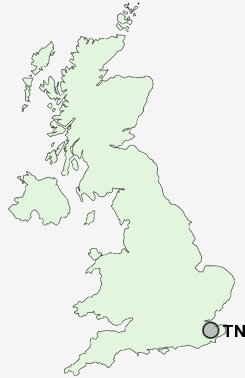
UK Search
Antique Furniture
1000s of pieces of Antique Furniture for sale from British antique dealers.