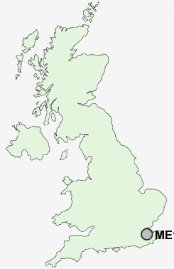
Postcode : ME17, Kent
Postcodes in the ME17 sector. Covering areas such as Boughton Malherbe, Boughton Monchelsea, Rabbit's Cross, Warmlake, Harrietsham, Pye Corner, Chart Hill, Ashbank, Wierton, Eyhorne Street, Lenham Forstal, Grafty Green, Langley Heath, The Harbour, Chart Sutton and Kent.
Postcode Area ME : Medway
ME17 Postcode Sectors
ME17 1 Ashbank, Broad Street, Broomfield, Chegworth, Eyhorne Street
ME17 4 Boughton Green, Boughton Monchelsea, Cock Street, Coxheath, Linton
ME17 4 Boughton Green, Boughton Monchelsea, Cock Street, Coxheath, Linton
ME17 2 Boughton Malherbe, Broadstone, Grafty Green, Leadingcross Green, Lenham
ME17 3 Chart Corner, Chart Hill, Chart Sutton, Five Wents, Lamb's Cross
ME17 3 Chart Corner, Chart Hill, Chart Sutton, Five Wents, Lamb's Cross
ME17 Nearby Postcode Districts
ME13 ME14 ME15 ME16 ME17 ME18 ME19 ME20 ME6 ME9 TN1 TN10 TN11 TN12 TN15 TN2 TN23 TN24 TN25 TN27 TN4 TN9
Stations near to ME17
Hollingbourne Rail Station about 2.22 miles away.Bearsted Rail Station about 3.15 miles away.
ME17 Schools
Leeds and Broomfield Church of England Primary SchoolKingswood Primary School
Sutton Valence Primary School
Sutton Valence School
UK Search
Antique Furniture
1000s of pieces of Antique Furniture for sale from British antique dealers.