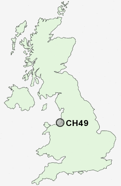
Postcode : CH49, Wirral, Merseyside
Postcodes in the CH49 sector. Covering areas such as Landican, Greasby, Upton, Saughall Massie, Arrowe Hill and Wirral in Merseyside.
Postcode Area CH : Chester
CH49 Postcode Sectors
CH49 Nearby Postcode Districts
CH41 CH42 CH43 CH44 CH45 CH46 CH47 CH48 CH49 CH60 CH61 CH62 CH63 CH64 CH8 L1 L10 L11 L12 L13 L14 L15 L16 L17 L18 L19 L2 L20 L21 L22 L24 L25 L26 L27 L28 L3 L32 L34 L35 L36 L4 L5 L6 L69 L7 L70 L8 L9 LL18 LL19 WA10 WA11 WA7 WA8 WA9
Stations near to CH49
Upton Rail Station about 0.86 miles away.Moreton (Merseyside) Rail Station about 1.86 miles away.
Leasowe Rail Station about 1.87 miles away.
Bidston Rail Station about 2.19 miles away.
Birkenhead North Rail Station about 2.48 miles away.
Wallasey Village Rail Station about 3.21 miles away.
Wallasey Grove Road Rail Station about 3.53 miles away.
CH49 Schools
Overchurch Infant SchoolFender Primary School
Greasby Infant School
Woodchurch High School Engineering College
Greasby Junior School
Manor Primary School
Irby Primary School
Thingwall Primary School
UK Search
Antique Clocks
Browse Antique Clocks for sale from British antique dealers.