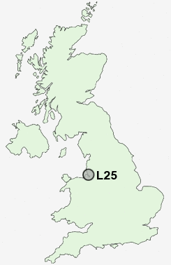
Postcode : L25, Liverpool, Merseyside
Postcodes in the L25 sector. Covering areas such as Woolton, Gateacre, Belle Vale, Bowring Park, Allerton and Liverpool in Merseyside.
Postcode Area L : Liverpool
L25 Postcode Sectors
L25 Nearby Postcode Districts
CH41 CH42 CH43 CH44 CH45 CH46 CH47 CH48 CH49 CH60 CH61 CH62 CH63 CH64 CH8 L1 L10 L11 L12 L13 L14 L15 L16 L17 L18 L19 L2 L20 L21 L22 L24 L25 L26 L27 L28 L3 L32 L34 L35 L36 L4 L5 L6 L69 L7 L70 L8 L9 WA1 WA10 WA11 WA12 WA13 WA2 WA3 WA4 WA5 WA7 WA8 WA9
Stations near to L25
Hunts Cross Rail Station about 1.22 miles away.Halewood Rail Station about 1.61 miles away.
Liverpool South Parkway Rail Station about 1.79 miles away.
Liverpool South Parkway Rail Station about 1.79 miles away.
Roby Rail Station about 2.23 miles away.
Huyton Rail Station about 2.33 miles away.
Broad Green Rail Station about 2.36 miles away.
Cressington Rail Station about 2.45 miles away.
L25 Schools
Woolton Junior SchoolBelle Vale Community Primary School
Gateacre School
New Heys Comprehensive School
Childwall Valley Primary School
Yew Tree Community Primary School (With Designated Special Provision)
Calderstones School
Rudston Junior School
Rudston Infant School
UK Search
Antique Jewellery
including Antique Engagement Rings for sale from UK Antique specialists.