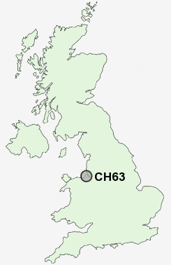
Postcode : CH63, Wirral, Cheshire
Postcodes in the CH63 sector. Covering areas such as Storeton, Bebington, Poulton, Raby, Higher Bebington, Brimstage, Thornton Hough, Lower Bebington, Woodhey and Wirral in Merseyside, Cheshire.
Postcode Area CH : Chester
CH63 Postcode Sectors
CH63 Nearby Postcode Districts
CH41 CH42 CH43 CH44 CH45 CH46 CH47 CH48 CH49 CH6 CH60 CH61 CH62 CH63 CH64 CH65 CH66 CH8 L1 L12 L13 L14 L15 L16 L17 L18 L19 L2 L24 L25 L26 L27 L28 L3 L34 L35 L36 L4 L5 L6 L69 L7 L70 L8 LL19 WA5 WA6 WA7 WA8 WA9
Stations near to CH63
Bebington Rail Station about 0.93 miles away.Bromborough Rake Rail Station about 1.37 miles away.
Bromborough Rail Station about 1.88 miles away.
Green Lane Rail Station about 2.65 miles away.
Eastham Rake Rail Station about 2.87 miles away.
Brunswick Rail Station about 3.01 miles away.
Birkenhead Central Rail Station about 3.02 miles away.
Conway Park Rail Station about 3.38 miles away.
CH63 Schools
Wirral Grammar School for GirlsBrackenwood Infant School
Bebington High Sports College
Rock Ferry High School
Prenton High School for Girls
Mendell Primary School
UK Search
Antique Clocks
Browse Antique Clocks for sale from British antique dealers.