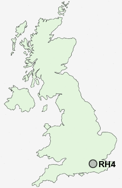
Postcode : RH4, Surrey
Postcodes in the RH4 sector. Covering areas such as Dorking, Tower Hill, North Holmwood, Westcott, Logmore Green, Rose Hill, Pixham and Surrey.
Postcode Area RH : Redhill
RH4 Postcode Sectors
RH4 Nearby Postcode Districts
CR3 CR5 CR6 GU1 GU12 GU16 GU2 GU21 GU22 GU23 GU24 GU3 GU4 GU5 GU6 GU7 GU8 KT11 KT18 KT20 KT21 KT22 KT23 KT24 RH1 RH2 RH3 RH4 RH5 RH6 RH7 RH8 RH9 SM7 TN16
Stations near to RH4
Dorking West Rail Station about 0.56 miles away.Dorking Deepdene Rail Station about 0.79 miles away.
Dorking Rail Station about 0.93 miles away.
Box Hill & Westhumble Rail Station about 1.74 miles away.
Holmwood Rail Station about 3.35 miles away.
RH4 Schools
St Joseph's Catholic Primary SchoolSt Paul's CofE (Aided) Primary School
The Priory CofE Voluntary Aided School
Powell Corderoy Primary School
St Martin's CofE Controlled Primary School, Dorking
The Ashcombe School
St John's CE Community Primary School
Westcott CofE First School
UK Search
Antique Furniture
1000s of pieces of Antique Furniture for sale from British antique dealers.