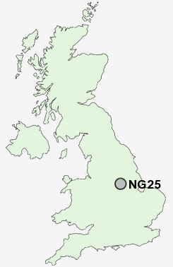
Postcode : NG25, Nottinghamshire
Postcodes in the NG25 sector. Covering areas such as Normanton, Hockerton, Upton Field, Westhorpe, Oxton, Morton, Easthorpe, Brinkley, Southwell, Maythorne, Fiskerton, Halloughton and Nottinghamshire.
Postcode Area NG : Nottingham
NG25 Postcode Sectors
NG25 Nearby Postcode Districts
DE7 DE75 LN5 NG14 NG15 NG16 NG17 NG18 NG19 NG21 NG23 NG24 NG25 NG5 NG6
Stations near to NG25
Fiskerton Rail Station about 1.98 miles away.Bleasby Rail Station about 2.24 miles away.
Thurgarton Rail Station about 3.06 miles away.
NG25 Schools
Minster SchoolHoly Trinity CofE Infant School
Lowe's Wong Infant School
Lowe's Wong Anglican Methodist Junior School
Halam CofE Primary School
UK Search
Antique Furniture
1000s of pieces of Antique Furniture for sale from British antique dealers.