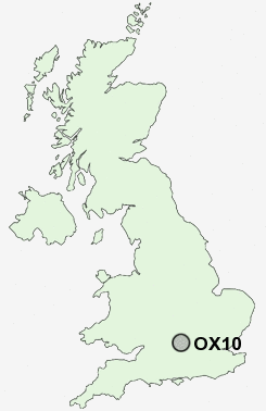
Postcode : OX10, Oxfordshire
Postcodes in the OX10 sector. Covering areas such as Newington, Ewelme, Preston Crowmarsh, Berrick Salome, South Stoke, Warborough, Ipsden, Oakley Court, Slade End, Drayton St Leonard, Wallingford, Crowmarsh Gifford, Littleworth, Shillingford, Mackney and Oxfordshire.
Postcode Area OX : Oxford
OX10 Postcode Sectors
OX10 6 Benson, Berrick Salome, Ewelme, Hailey, Ipsden
OX10 7 Berinsfield, Bridge End, Dorchester, Drayton St Leonard, Great Holcombe
OX10 0 Brightwell-cum-Sotwell, Mackney, Slade End, Wallingford
OX10 7 Berinsfield, Bridge End, Dorchester, Drayton St Leonard, Great Holcombe
OX10 0 Brightwell-cum-Sotwell, Mackney, Slade End, Wallingford
OX10 9 Cholsey, Moulsford, South Stoke, West End, Winterbrook
OX10 1 Crowmarsh Gifford
OX10 8 Preston Crowmarsh
OX10 1 Crowmarsh Gifford
OX10 8 Preston Crowmarsh
OX10 Nearby Postcode Districts
HP11 HP12 HP13 HP14 OX10 OX11 OX12 OX13 OX14 OX39 OX44 OX49 RG9 SL7
Stations near to OX10
Cholsey Rail Station about 2.93 miles away.OX10 Schools
Wallingford SchoolSt Nicholas' Church of England Infants' School and Nursery Class, Wallingford
Fir Tree Junior School
St John's Primary School
Crowmarsh Gifford Church of England School
Benson Church of England Primary School
Brightwell-Cum-Sotwell Church of England (C) Primary School
UK Search
Antique Furniture
1000s of pieces of Antique Furniture for sale from British antique dealers.