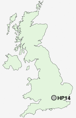
Postcode : HP14, Buckinghamshire
Postcodes in the HP14 sector. Covering areas such as Radnage, Stokenchurch, Upper North Dean, Ibstone, Horsleys Green, Ditchfield, Hunt's Hill, Lane End, Cadmore End, Rout's Green, Naphill, Lower North Dean, Wheeler End, Walter's Ash, Piddington and Buckinghamshire.
Postcode Area HP : Hemel Hempstead
HP14 Postcode Sectors
HP14 Nearby Postcode Districts
HP10 HP11 HP12 HP13 HP14 HP15 HP16 HP27 HP3 HP5 HP6 HP7 HP8 HP9 OX10 OX39 OX4 OX44 OX49 OX9 SL7 SL8 SL9 UB9 WD3 WD4
Stations near to HP14
Saunderton Rail Station about 1.86 miles away.HP14 Schools
West Wycombe Combined SchoolThe Mary Towerton School At Studley Green
Bledlow Ridge School
Radnage Church of England Primary School
UK Search
Antique Jewellery
including Antique Engagement Rings for sale from UK Antique specialists.