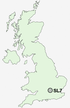
Postcode : SL7, Buckinghamshire
Postcodes in the SL7 sector. Covering areas such as Bovingdon Green, Bisham, Marlow Common, Marlow, Temple, Lower Woodend, Chisbridge Cross, Bockmer End, Marlow Bottom, Burroughs Grove, Danesfield, Medmenham, Sheepridge, Little Marlow and Buckinghamshire in Berkshire.
Postcode Area SL : Slough
SL7 Postcode Sectors
SL7 1 Bisham, Marlow, Temple
SL7 2 Bockmer End, Bovingdon Green, Chisbridge Cross, Danesfield, Lower Woodend
SL7 2 Bockmer End, Bovingdon Green, Chisbridge Cross, Danesfield, Lower Woodend
SL7 Nearby Postcode Districts
HA4 HA5 HA6 HP10 HP11 HP12 HP13 HP14 HP15 HP7 HP8 HP9 OX10 OX49 RG10 RG4 RG8 RG9 SL0 SL1 SL2 SL3 SL4 SL6 SL7 SL8 SL9 TW5 UB10 UB11 UB2 UB3 UB4 UB7 UB8 UB9 WD1 WD17 WD18 WD19 WD2 WD24 WD3
Stations near to SL7
Marlow Rail Station about 0.46 miles away.Furze Platt Rail Station about 3.49 miles away.
SL7 Schools
Holy Trinity Church of England (Aided) SchoolSt Peter's Catholic Primary School
Marlow Church of England Infant School
Foxes Piece School
Spinfield School
Great Marlow School
Burford School
Herries Preparatory School
Cookham Dean CofE Primary School
Little Marlow CofE School
UK Search
Antique Furniture
1000s of pieces of Antique Furniture for sale from British antique dealers.