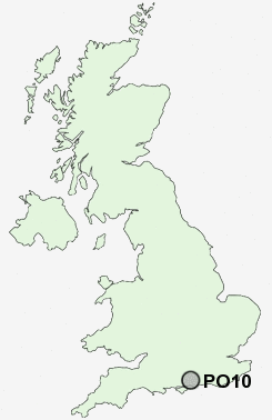
Postcode : PO10, West Sussex
Postcodes in the PO10 sector. Covering areas such as West Thorney, Southbourne, Thorney Island, Lumley, New Brighton, Stubbermere, Woodmancote, Westbourne, Hermitage, Emsworth, Prinsted and West Sussex in Hampshire.
Postcode Area PO : Portsmouth
PO10 Postcode Sectors
PO10 Nearby Postcode Districts
BN17 BN18 PO1 PO10 PO11 PO12 PO13 PO14 PO15 PO16 PO17 PO18 PO19 PO2 PO20 PO21 PO22 PO3 PO31 PO4 PO5 PO6 PO7 PO8 PO9 SO30 SO31 SO32
Stations near to PO10
Emsworth Rail Station about 0.41 miles away.Southbourne Rail Station about 0.93 miles away.
Warblington Rail Station about 1.67 miles away.
Nutbourne Rail Station about 2.04 miles away.
Rowlands Castle Rail Station about 3.1 miles away.
PO10 Schools
St James Church of England Controlled Primary SchoolBourne Community College
Emsworth Primary School
Westbourne Primary School
Southbourne Infant School
Southbourne Junior School
UK Search
Antique Furniture
1000s of pieces of Antique Furniture for sale from British antique dealers.