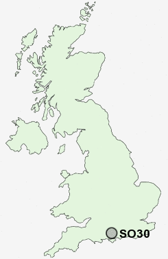
Postcode : SO30, Hampshire
Postcodes in the SO30 sector. Covering areas such as Botley, Hatch Bottom, West End, Moorgreen, Broadoak, Curbridge, Hedge End, Thornhill Park, Wildern and Hampshire.
Postcode Area SO : Southampton
SO30 Postcode Sectors
SO30 Nearby Postcode Districts
GU32 PO10 PO14 PO15 PO16 PO17 PO6 PO7 PO8 PO9 SO14 SO15 SO16 SO17 SO18 SO19 SO30 SO31 SO32 SO40 SO43 SO45 SO50 SO51 SO52 SO53
Stations near to SO30
Hedge End Rail Station about 1.05 miles away.Botley Rail Station about 2.04 miles away.
Bursledon Rail Station about 2.44 miles away.
Netley Rail Station about 3.42 miles away.
Hamble Rail Station about 3.44 miles away.
Swanwick Rail Station about 3.47 miles away.
SO30 Schools
Wildern SchoolShamblehurst Primary School
Berrywood Primary School
Freegrounds Junior School
Freegrounds Infant School
Kings Copse Primary School
Kanes Hill Primary School
Hightown Primary School
Woodlands Community College
UK Search
Antique Furniture
1000s of pieces of Antique Furniture for sale from British antique dealers.