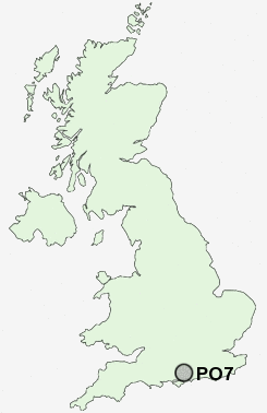
Postcode : PO7, Hampshire
Postcodes in the PO7 sector. Covering areas such as Soake, Hoe Gate, Chidden, Anthill Common, Forest Gate, Widley, Waterlooville, Denmead, Rushmere, Worlds End, Hambledon, Furzeley Corner, Mead End, Purbrook and Hampshire.
Postcode Area PO : Portsmouth
PO7 Postcode Sectors
PO7 6 Anthill Common, Denmead, Forest Gate, Furzeley Corner, Mead End
PO7 4 Chidden, Hambledon, Hoe Gate, Rushmere, Worlds End
PO7 4 Chidden, Hambledon, Hoe Gate, Rushmere, Worlds End
PO7 Nearby Postcode Districts
PO1 PO10 PO11 PO12 PO13 PO14 PO15 PO16 PO17 PO18 PO19 PO2 PO20 PO21 PO22 PO3 PO4 PO5 PO6 PO7 PO8 PO9 SO14 SO15 SO16 SO17 SO18 SO19 SO30 SO31 SO32 SO45 SO50
Stations near to PO7
Bedhampton Rail Station about 2.67 miles away.Cosham Rail Station about 3.05 miles away.
PO7 Schools
Hart Plain Junior SchoolQueen's Inclosure Primary School
Morelands Primary School
Park Community School
UK Search
Antique Furniture
1000s of pieces of Antique Furniture for sale from British antique dealers.