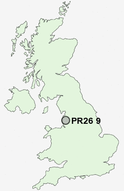
Postcode : PR26 9, Lancashire
Postcodes in the PR26 9 district. Covering areas such as Barber's Moor, Croston, Bretherton, Ulnes Walton and Lancashire.
Postcode Area PR : Preston
PR26 Postcode Sectors
PR26 9 Nearby Postcode Districts
BB1 BB2 BB3 BB5 BL1 BL2 BL6 BL7 FY8 L40 PR1 PR25 PR26 PR4 PR5 PR6 PR7 PR8 PR9 WN6
Stations near to PR26 9
Croston Rail Station about 1.12 miles away.PR26 9 Schools
Bishop Rawstorne Church of England Language CollegeTrinity and St Michael's VA CofE/Methodist Primary School
Leyland St James Church of England Primary School
Seven Stars Primary School
Eccleston Primary School
Moss Side Primary School
UK Search
Antique Furniture
1000s of pieces of Antique Furniture for sale from British antique dealers.