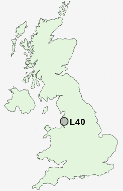
Postcode : L40, Lancashire
Postcodes in the L40 sector. Covering areas such as Hurlston Green, Scarisbrick, Pinfold, Rufford, Black Moor, Hurlston, Tarlscough, Grimshaw Green, Holmeswood, Hoscar, Bescar, New Lane, Ring o' Bells, Burscough Bridge and Lancashire.
Postcode Area L : Liverpool
L40 Postcode Sectors
L40 9 Bescar, Drummersdale, Scarisbrick, Smithy Lane Ends
L40 3 Bispham Green, Black Moor, Grimshaw Green, Mawdesley
L40 7 Burscough
L40 5 Burscough Bridge, Lathom, Ring o' Bells
L40 8 Heaton's Bridge, Hurlston, Hurlston Green, Pinfold
L40 3 Bispham Green, Black Moor, Grimshaw Green, Mawdesley
L40 7 Burscough
L40 5 Burscough Bridge, Lathom, Ring o' Bells
L40 8 Heaton's Bridge, Hurlston, Hurlston Green, Pinfold
L40 Nearby Postcode Districts
BB3 BL1 BL5 BL6 L29 L31 L37 L38 L39 L40 M29 M46 PR25 PR26 PR6 PR7 PR8 PR9 WN1 WN2 WN3 WN5 WN6 WN8
Stations near to L40
Burscough Bridge Rail StationBurscough Junction Rail Station about 0.31 miles away.
New Lane Rail Station about 1.28 miles away.
Hoscar Rail Station about 1.53 miles away.
Rufford Rail Station about 2.62 miles away.
Ormskirk Rail Station about 2.8 miles away.
L40 Schools
Burscough Village Primary SchoolBurscough Bridge St John's Church of England Primary School
Burscough Priory Science College
Burscough Bridge Methodist School
Burscough Lordsgate Township Church of England Primary School
St John's Catholic Primary School, Burscough
Ormskirk Lathom Park Church of England Primary School
UK Search
Antique Jewellery
including Antique Engagement Rings for sale from UK Antique specialists.