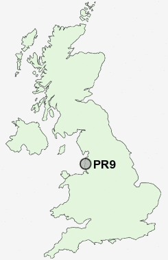
Postcode : PR9, Sefton, Merseyside
Postcodes in the PR9 sector. Covering areas such as Fiddler's Ferry, Banks, Marshside, Far Banks, Churchtown, Southport, Hundred End, High Park, Crossens and Sefton in Lancashire, Merseyside.
Postcode Area PR : Preston
PR9 Postcode Sectors
PR9 Nearby Postcode Districts
FY8 L39 L40 PR1 PR25 PR26 PR4 PR5 PR6 PR7 PR8 PR9 WN6
Stations near to PR9
Meols Cop Rail Station about 1 miles away.Southport Rail Station about 1.69 miles away.
Birkdale Rail Station about 2.61 miles away.
PR9 Schools
St Patrick's Catholic Primary SchoolChurchtown Primary School
Larkfield Primary School
Bishop David Sheppard Church of England Primary School
Stanley High School
Norwood Primary School
Marshside Primary School
Meols Cop High School
UK Search
Antique Furniture
1000s of pieces of Antique Furniture for sale from British antique dealers.