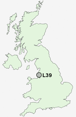
Postcode : L39, Lancashire
Postcodes in the L39 sector. Covering areas such as Downholland Cross, Holt Green, Primrose Hill, Barrow Nook, Haskayne, Park Hill, Moss Side, Bickerstaffe, Royal Oak, Halsall, Bowker's Green, Shirdley Hill, Barton, Ormskirk, Aughton and Lancashire in Merseyside.
Postcode Area L : Liverpool
L39 Postcode Sectors
L39 6 Aughton, Bowker's Green, Holt Green, Moss Side, Town Green
L39 4 Aughton Park
L39 0 Barrow Nook, Bickerstaffe, Park Hill, Royal Oak
L39 8 Barton, Halsall, Primrose Hill, Shirdley Hill
L39 4 Aughton Park
L39 0 Barrow Nook, Bickerstaffe, Park Hill, Royal Oak
L39 8 Barton, Halsall, Primrose Hill, Shirdley Hill
L39 Nearby Postcode Districts
BL5 BL6 L10 L21 L22 L23 L29 L30 L31 L32 L33 L37 L38 L39 L40 PR7 PR8 PR9 WA11 WN1 WN2 WN3 WN4 WN5 WN6 WN7 WN8
Stations near to L39
Aughton Park Rail Station about 0.54 miles away.Ormskirk Rail Station about 0.79 miles away.
Town Green Rail Station about 1.37 miles away.
New Lane Rail Station about 3.62 miles away.
L39 Schools
St Bede's Catholic High SchoolOrmskirk St Anne's Catholic Primary School
Aughton Christ Church Church of England Voluntary Controlled Primary School
Mount Carmel Preparatory School
Ormskirk Asmall Primary School
Ormskirk West End Primary School
Ormskirk Church of England Primary School
Aughton St Michael's Church of England Primary School
Aughton Town Green Primary School
UK Search
Antique Jewellery
including Antique Engagement Rings for sale from UK Antique specialists.