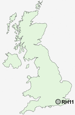
Postcode : RH11 9, West Sussex
Postcodes in the RH11 9 district. Covering areas such as Pease Pottage, Buchan Hill, Tilgate Forest Row, Broadfield and West Sussex.
Postcode Area RH : Redhill
RH11 Postcode Sectors
RH11 0 Ifield, Ifieldwood, Lowfield Heath
RH11 7 Ifield Green, Langley Green, Manor Royal, Southgate, West Green
RH11 7 Ifield Green, Langley Green, Manor Royal, Southgate, West Green
RH11 9 Nearby Postcode Districts
GU6 RH10 RH11 RH12 RH13 RH14 RH16 RH17 RH18 RH19 RH6 RH7 TN22 TN6 TN7
Stations near to RH11 9
Crawley Rail Station about 2.4 miles away.Ifield Rail Station about 2.74 miles away.
Three Bridges Rail Station about 3.08 miles away.
RH11 9 Schools
Handcross Primary SchoolBroadfield East Infant School and Nursery
Broadfield East Junior School
Thomas Bennett Community College
Desmond Anderson Primary School
Seymour Primary School
UK Search
Antique Furniture
1000s of pieces of Antique Furniture for sale from British antique dealers.