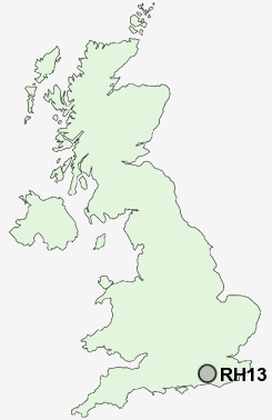
Postcode : RH13, West Sussex
Postcodes in the RH13 sector. Covering areas such as Slinfold, Nuthurst, Colgate, Oakhill, Cowfold, Mannings Heath, Bines Green, West Grinstead, Partridge Green, Littleworth, Southwater, Shermanbury, Park Street, Whitehall, Dragons Green and West Sussex.
Postcode Area RH : Redhill
RH13 Postcode Sectors
RH13 6 Ashfold Crossways, Colgate, Coolhurst Wood, Copsale, Crabtree
RH13 0 Barns Green, Brooks Green, Itchingfield, Park Street, Slinfold
RH13 8 Bines Green, Broomer's Corner, Coolham, Cowfold, Dial Post
RH13 0 Barns Green, Brooks Green, Itchingfield, Park Street, Slinfold
RH13 8 Bines Green, Broomer's Corner, Coolham, Cowfold, Dial Post
RH13 Nearby Postcode Districts
GU27 GU28 RH10 RH11 RH12 RH13 RH14 RH15 RH16 RH17 RH18 RH19 RH20
Stations near to RH13
Christs Hospital Rail Station about 1.92 miles away.Horsham Rail Station about 2.02 miles away.
Littlehaven Rail Station about 3.04 miles away.
RH13 Schools
Castlewood Primary SchoolSouthwater Infant School
Southwater Junior School
The Forest School
Arunside School, Horsham
Heron Way Primary School
UK Search
Antique Furniture
1000s of pieces of Antique Furniture for sale from British antique dealers.