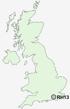
Postcode : RH13 6, West Sussex
Postcodes in the RH13 6 district. Covering areas such as Colgate, Nuthurst, Coolhurst Wood, New Town, Ashfold Crossways, Doomsday Green, Mannings Heath, Maplehurst, Monk's Gate, Lower Beeding, Copsale, Crabtree and West Sussex.
Postcode Area RH : Redhill
RH13 Postcode Sectors
RH13 6 Ashfold Crossways, Colgate, Coolhurst Wood, Copsale, Crabtree
RH13 0 Barns Green, Brooks Green, Itchingfield, Park Street, Slinfold
RH13 8 Bines Green, Broomer's Corner, Coolham, Cowfold, Dial Post
RH13 0 Barns Green, Brooks Green, Itchingfield, Park Street, Slinfold
RH13 8 Bines Green, Broomer's Corner, Coolham, Cowfold, Dial Post
RH13 6 Nearby Postcode Districts
BN5 BN6 GU28 RH10 RH11 RH12 RH13 RH14 RH15 RH16 RH17 RH18 RH19 RH20 TN22
Stations near to RH13 6
Horsham Rail Station about 2.96 miles away.RH13 6 Schools
St Andrew's CofE Primary SchoolHoly Trinity CofE Primary School, Lower Beeding
UK Search
Antique Furniture
1000s of pieces of Antique Furniture for sale from British antique dealers.