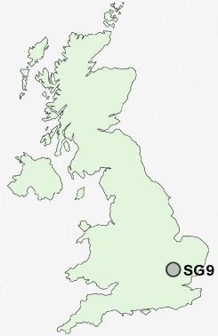
Postcode : SG9, Hertfordshire
Postcodes in the SG9 sector. Covering areas such as Green End, Barleycroft End, Buckland, East End, Little Hormead, Stocking Pelham, Snow End, Westmill, Sandon, Cottered, Brook End, Aspenden, Southern Green, Shaw Green and Hertfordshire.
Postcode Area SG : Stevenage
SG9 Postcode Sectors
SG9 Nearby Postcode Districts
CB10 CB11 CM22 CM23 CM24 CM6 LU2 SG1 SG11 SG15 SG16 SG17 SG2 SG3 SG4 SG5 SG6 SG7 SG9
SG9 Schools
Layston Church of England First SchoolMillfield First and Nursery School
Edwinstree Church of England Middle School
Freman College
UK Search
Antique Furniture
1000s of pieces of Antique Furniture for sale from British antique dealers.