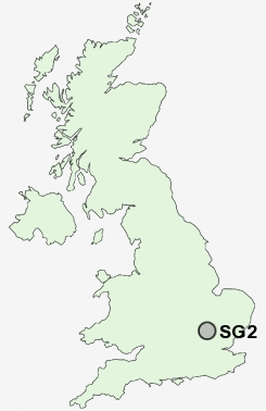
Postcode : SG2, Hertfordshire
Postcodes in the SG2 sector. Covering areas such as Poplars, Hebing End, Aston, Clay End, Bragbury End, Walkern, Luffenhall, Wood End, Bassus Green, Burn's Green, Cromer, Moor Green, Aston End, Parker's Green and Hertfordshire.
Postcode Area SG : Stevenage
SG2 Postcode Sectors
SG2 Nearby Postcode Districts
AL5 AL6 AL7 AL8 CM21 CM22 CM23 CM24 LU1 LU2 LU3 LU4 LU5 LU6 SG1 SG10 SG11 SG12 SG14 SG2 SG3 SG4 SG5 SG6 SG9
Stations near to SG2
Stevenage Rail Station about 1.84 miles away.Knebworth Rail Station about 2.23 miles away.
Watton-at-Stone Rail Station about 3.35 miles away.
SG2 Schools
Ashtree Primary School and NurseryMarriotts School
Barnwell School
Longmeadow Primary School
The Nobel School
Moss Bury Primary School and Nursery
Trotts Hill Primary and Nursery School
UK Search
Antique Furniture
1000s of pieces of Antique Furniture for sale from British antique dealers.