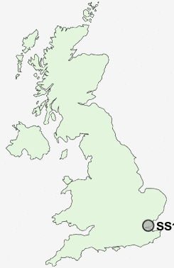
Postcode : SS1, Southend-on-Sea, Essex
Postcodes in the SS1 sector. Covering areas such as Wickford, Langdon Hills, Rawreth, North Shoebury, Runwell, Chalvedon, Rawreth Shot, Vange, Stanford-le-Hope, Nevendon, Balstonia, Bournes Green, Noak Bridge, Thorpe Bay, Battlesbridge, Thurrock, Essex and Southend-on-Sea.
Postcode Area SS : Southend on Sea
SS1 Postcode Sectors
SS1 Nearby Postcode Districts
CM11 CM12 CM13 RM16 RM18 SS0 SS1 SS11 SS12 SS13 SS14 SS15 SS16 SS17 SS2 SS3 SS4 SS5 SS6 SS7 SS8 SS9
Stations near to SS1
Southend East Rail StationSouthend Central Rail Station about 0.91 miles away.
Southend Victoria Rail Station about 0.97 miles away.
Thorpe Bay Rail Station about 1.24 miles away.
Prittlewell Rail Station about 1.35 miles away.
Westcliff-on-Sea Rail Station about 1.78 miles away.
Southend Airport Rail Station about 2.5 miles away.
Rochford Rail Station about 3.36 miles away.
SS1 Schools
Thorpe Greenways Junior SchoolThorpe Greenways Infant School
Porters Grange Primary School and Nursery
Hamstel Junior School
Hamstel Infant School and Nursery
Bournemouth Park Primary School
Temple Sutton Primary School
Cecil Jones College
Barons Court Primary School and Nursery
Bournes Green Junior School
Bournes Green Infant School
UK Search
Antique Furniture
1000s of pieces of Antique Furniture for sale from British antique dealers.