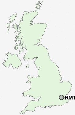
Postcode : RM18, Thurrock, Essex
Postcodes in the RM18 sector. Covering areas such as West Tilbury, Biggin, Tilbury, East Tilbury, Low Street and Thurrock in Essex.
Postcode Area RM : Romford
RM18 Postcode Sectors
RM18 Nearby Postcode Districts
BR1 BR2 BR4 BR5 BR7 BR8 DA1 DA10 DA11 DA12 DA13 DA14 DA15 DA16 DA17 DA18 DA2 DA3 DA4 DA5 DA6 DA7 DA8 DA9 E12 E13 E14 E15 E16 E6 E7 IG1 IG11 IG3 ME1 ME11 ME2 ME3 ME4 ME7 RM10 RM12 RM13 RM14 RM15 RM16 RM17 RM18 RM19 RM20 RM8 RM9 SE10 SE12 SE13 SE18 SE2 SE28 SE3 SE6 SE7 SE9 SS0 SS1 SS16 SS17 SS2 SS7 SS8 SS9
Stations near to RM18
Tilbury Town Rail Station about 1.04 miles away.Gravesend Rail Station about 1.83 miles away.
East Tilbury Rail Station about 1.98 miles away.
Stanford-le-Hope Rail Station about 3.83 miles away.
RM18 Schools
The Gateway AcademyThe Gateway Academy
Herringham Primary School
Chantry Primary School
UK Search
Antique Furniture
1000s of pieces of Antique Furniture for sale from British antique dealers.