Postcode : SS17, Thurrock, Essex
Postcodes in the SS17 sector. Covering areas such as Fobbing, Mucking, Stanford-le-Hope, Great Malgraves, Balstonia, Linford, Horndon on the Hill, Corringham and Thurrock in Essex.
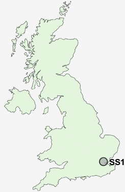
Postcode Area SS : Southend on Sea
SS17 Postcode Sectors
SS17 Nearby Postcode Districts
CM13 CM14 DA1 DA10 DA11 DA12 DA14 DA15 DA16 DA17 DA18 DA2 DA5 DA6 DA7 DA8 DA9 E12 E6 IG1 IG11 IG2 IG3 IG4 IG5 IG6 IG7 ME12 ME3 RM1 RM10 RM11 RM12 RM13 RM14 RM15 RM16 RM17 RM18 RM19 RM2 RM20 RM3 RM5 RM6 RM7 RM8 RM9 SE18 SE2 SE28 SE9 SS0 SS1 SS11 SS12 SS13 SS14 SS15 SS16 SS17 SS2 SS3 SS4 SS5 SS6 SS7 SS8 SS9
Stations near to SS17
Stanford-le-Hope Rail Station about 0.9 miles away.East Tilbury Rail Station about 2.78 miles away.
Laindon Rail Station about 3.29 miles away.
Basildon Rail Station about 3.32 miles away.
SS17 Schools
Abbots Hall Primary SchoolArthur Bugler Junior School
Arthur Bugler Infant School
Graham James Primary School
Giffards Primary School
Stanford-le-Hope Primary School
Gable Hall School
Corringham Primary School
St Clere's School
UK Search
Antique Furniture
1000s of pieces of Antique Furniture for sale from British antique dealers.