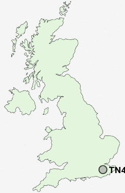
Postcode : TN4, Kent
Postcodes in the TN4 sector. Covering areas such as Hungershall Park, Modest Corner, Rusthall, Old Town, Denny Bottom, Southborough, Pebsham, Ramslye, St John's, Kent and East Sussex.
Postcode Area TN : Tonbridge
TN4 Postcode Sectors
TN4 Nearby Postcode Districts
ME17 ME18 RH18 RH19 RH7 RH9 TN1 TN10 TN11 TN12 TN17 TN2 TN3 TN4 TN5 TN6 TN7 TN8 TN9
Stations near to TN4
High Brooms Rail Station about 0.83 miles away.Tunbridge Wells Rail Station about 1.1 miles away.
Tonbridge Rail Station about 3.18 miles away.
Frant Rail Station about 3.28 miles away.
Leigh (Kent) Rail Station about 3.92 miles away.
TN4 Schools
Tunbridge Wells Girls' Grammar SchoolTunbridge Wells Grammar School for Boys
Rose Hill School
Bishops Down Primary School
Sherwood Park Community Primary School
Beechwood Sacred Heart School
Claremont Primary School
Tunbridge Wells High School
The Mead School
Broadwater Down Primary School
UK Search
Antique Furniture
1000s of pieces of Antique Furniture for sale from British antique dealers.