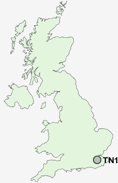
Postcode : TN11, Kent
Postcodes in the TN11 sector. Covering areas such as Goose Green, Smart's Hill, Upper Hayesden, Dene Park, Tudeley Hale, Hadlow, Hamptons, Dunk's Green, Crockhurst Street, Cinder Hill, Walter's Green, Chiddingstone Causeway, Hilden Park, Poundsbridge, Wickhurst and Kent.
Postcode Area TN : Tonbridge
TN11 Postcode Sectors
TN11 0 Barnes Street, Capel, Crockhurst Street, Golden Green, Goose Green
TN11 8 Charcott, Chiddingstone Causeway, Cinder Hill, Leigh, Oakhurst
TN11 8 Charcott, Chiddingstone Causeway, Cinder Hill, Leigh, Oakhurst
TN11 Nearby Postcode Districts
CR3 ME14 ME15 ME16 ME17 ME18 ME19 ME20 RH19 RH7 RH8 RH9 TN1 TN10 TN11 TN12 TN13 TN14 TN15 TN16 TN2 TN3 TN4 TN8 TN9
Stations near to TN11
Tonbridge Rail Station about 1.01 miles away.Hildenborough Rail Station about 1.89 miles away.
TN11 Schools
Long Mead Community Primary SchoolSlade Primary School and Attached Unit for Children with Hearing Impairment
Cage Green Primary School
Hugh Christie Technology College
Stocks Green Primary School
Sussex Road Community Primary School
Woodlands Infant School
Woodlands Junior School
The Hayesbrook School
St Stephen's (Tonbridge) Primary School
Hillview School for Girls
UK Search
Antique Furniture
1000s of pieces of Antique Furniture for sale from British antique dealers.