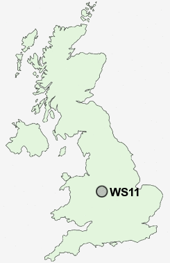
Postcode : WS11, Staffordshire
Postcodes in the WS11 sector. Covering areas such as Cannock, Norton Canes, Norton East, Hawks Green, High Town, Blackfords, Churchbridge, Hatherton, Rumer Hill, Bridgtown, Oldfallow, West Chadsmoor, Chadsmoor, Four Crosses and Staffordshire.
Postcode Area WS : Walssal
WS11 Postcode Sectors
WS11 5 Blackfords, Chadsmoor, High Town, West Chadsmoor
WS11 0 Bridgtown, Churchbridge, Rumer Hill
WS11 1 Cannock, Four Crosses, Hatherton
WS11 0 Bridgtown, Churchbridge, Rumer Hill
WS11 1 Cannock, Four Crosses, Hatherton
WS11 Nearby Postcode Districts
B77 B78 B79 ST17 ST19 TF10 TF11 WS11 WS12 WS13 WS14 WS15 WS3 WS4 WS6 WS7 WS8 WS9 WV10 WV11 WV12 WV6 WV7 WV8 WV9
Stations near to WS11
Cannock Rail Station about 0.29 miles away.Hednesford Rail Station about 1.59 miles away.
Landywood Rail Station about 2.25 miles away.
WS11 Schools
Bridgtown Primary SchoolLongford Primary School
Chadsmoor Community Infants and Nursery School
Redhill Primary School
Gorsemoor Primary School
Five Ways Primary School
Heath Hayes Primary School
West Hill Primary School
Littleton Green Community School
UK Search
Antique Furniture
1000s of pieces of Antique Furniture for sale from British antique dealers.