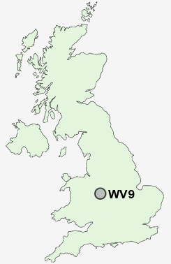
Postcode : WV9, Wolverhampton, Staffordshire
Postcodes in the WV9 sector. Covering areas such as Lower Green, Coven, Park Lane, Coven Lawn and Wolverhampton in Staffordshire.
Postcode Area WV : Wolverhampton
WV9 Postcode Sectors
WV9 Nearby Postcode Districts
B42 B43 B44 B71 B72 B73 B74 B75 B76 ST19 TF1 TF11 TF12 TF2 TF3 TF4 TF5 TF7 TF8 WS1 WS10 WS11 WS12 WS13 WS14 WS2 WS3 WS4 WS5 WS6 WS7 WS8 WS9 WV1 WV10 WV11 WV12 WV13 WV14 WV2 WV3 WV4 WV5 WV6 WV7 WV8 WV9
Stations near to WV9
Bilbrook Rail Station about 2.04 miles away.Wolverhampton Rail Station about 3.24 miles away.
WV9 Schools
Priory Green Primary SchoolPendeford Business and Enterprise College
The Northicote School
Northwood Park Primary School
Lane Green First School
Moreton Community School
Whitgreave Junior School
Oxley Primary School
Birches First School
UK Search
Antique Furniture
1000s of pieces of Antique Furniture for sale from British antique dealers.