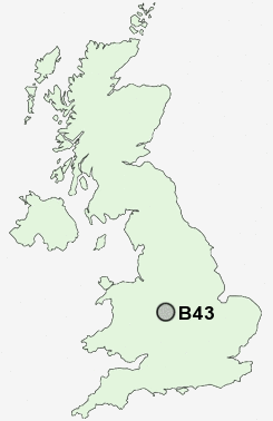
Postcode : B43, Sandwell, West Midlands
Postcodes in the B43 sector. Covering areas such as Grove Vale, Great Barr, Hamstead, Pheasey, Newton and Sandwell in West Midlands.
Postcode Area B : Birmingham
B43 Postcode Sectors
B43 Nearby Postcode Districts
B1 B10 B11 B12 B15 B16 B17 B18 B19 B2 B20 B21 B23 B24 B25 B26 B3 B32 B33 B34 B35 B36 B37 B4 B40 B42 B43 B44 B46 B5 B6 B62 B63 B64 B65 B66 B67 B68 B69 B7 B70 B71 B72 B73 B74 B75 B76 B77 B78 B8 B9 CV9 DY1 DY2 DY3 DY4 DY5 DY6 DY7 DY8 WS1 WS10 WS2 WS3 WS4 WS5 WS8 WS9 WV1 WV10 WV11 WV12 WV13 WV14 WV2 WV3 WV4 WV5 WV6 WV7 WV8 WV9
Stations near to B43
Hamstead (Birmingham) Rail Station about 1.17 miles away.Tame Bridge Parkway Rail Station about 2.01 miles away.
Perry Barr Rail Station about 2.46 miles away.
Witton (West Midlands) Rail Station about 3.09 miles away.
The Hawthorns Rail Station about 3.29 miles away.
B43 Schools
Whitecrest Primary SchoolFerndale Primary School
Grove Vale Primary School
Hamstead Junior School
Perry Beeches School
Hamstead Infant School
Yew Tree Primary School
Meadow View JMI School
Delves Infant School
Delves Junior School
UK Search
Antique Clocks
Browse Antique Clocks for sale from British antique dealers.