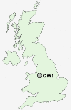
Postcode : CW1, Cheshire East, Cheshire
Postcodes in the CW1 sector. Covering areas such as Occlestone Green, Havannah, Davenport, Bostock Green, Mossley, Wimboldsley, Rodeheath, Oakhanger, Congleton Edge, Cross Lane, Newsbank, Slaughter Hill, Walley's Green, Highlane, Puddinglake and Cheshire East in Staffordshire.
Postcode Area CW : Crewe
CW1 Postcode Sectors
CW1 Nearby Postcode Districts
CH3 CW1 CW10 CW11 CW12 CW2 CW5 CW6 CW7 ST1 ST2 ST5 ST6 ST7 ST8 ST9 SY14
Stations near to CW1
Crewe Rail Station about 0.92 miles away.Sandbach Rail Station about 3.67 miles away.
CW1 Schools
Sir William Stanier Community SchoolBeechwood Primary School and Nursery
Oakefield Primary and Nursey School
Underwood West Primary School
Ruskin Community High School
Kings Grove School
Mablins Lane Community Primary School
Vine Tree Primary School
Pebble Brook Primary School
Wistaston Green Primary and Nursery School
UK Search
Antique Clocks
Browse Antique Clocks for sale from British antique dealers.