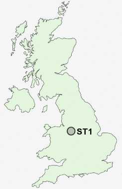
Postcode : ST1, Stoke-on-Trent, Stoke-on-trent
Postcodes in the ST1 sector. Covering areas such as Beamhurst Lane, Coton, Upper Nobut, Walton, Ingestre, Butterton, Caverswall, Godleybrook, The Blythe, Walton-on-the-Hill, Queensville, Abbey Green, Cheadle, Middleton Green, Scounslow Green, Staffordshire and Stoke-on-Trent in Stoke-on-trent.
Postcode Area ST : Stoke on Trent
ST1 Postcode Sectors
ST1 Nearby Postcode Districts
CW1 CW2 CW3 CW5 ST1 ST10 ST11 ST12 ST13 ST2 ST3 ST4 ST5 ST6 ST7 ST8 ST9
Stations near to ST1
Stoke-on-Trent Rail Station about 1.3 miles away.Longport Rail Station about 2.15 miles away.
Longton Rail Station about 2.88 miles away.
ST1 Schools
Northwood Broom Community SchoolWaterside Primary School
Hamilton Infant School
Sneyd Green Primary School
Abbey Hulton Primary School
Eaton Park Primary School
Holden Lane Primary School
Carmountside Primary School
Moorpark Junior School
Smallthorne Primary School
Jackfield Infant School
UK Search
Antique Furniture
1000s of pieces of Antique Furniture for sale from British antique dealers.