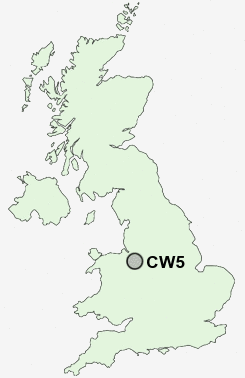
Postcode : CW5, Cheshire East, Cheshire
Postcodes in the CW5 sector. Covering areas such as Stapeley, Broomhall Green, Willaston, Checkley Green, Church Minshull, Faddiley, Walgherton, Wybunbury, Bridgemere, Rease Heath, Barbridge, Checkley, Hack Green, Barnett Brook, Hatherton and Cheshire East.
Postcode Area CW : Crewe
CW5 Postcode Sectors
CW5 8 Acton, Aston, Barnett Brook, Brindley, Broomhall
CW5 6 Aston juxta Mondrum, Barbridge, Church Minshull, Rease Heath, The Barony
CW5 6 Aston juxta Mondrum, Barbridge, Church Minshull, Rease Heath, The Barony
CW5 Nearby Postcode Districts
CW1 CW11 CW2 CW3 CW5 CW6 ST1 ST2 ST3 ST4 ST5 ST6 ST7 ST8 SY14
Stations near to CW5
Nantwich Rail StationCW5 Schools
St Anne's Catholic Primary SchoolWeaver Primary School
Brine Leas High School
Millfields Primary School and Nursery
Wyche Primary School
Pear Tree Primary School
Malbank School and Sixth Form College
Highfields Community Primary School
Stapeley Broad Lane CofE Primary School
Acton CofE Primary School
Willaston Primary School
UK Search
Antique Clocks
Browse Antique Clocks for sale from British antique dealers.