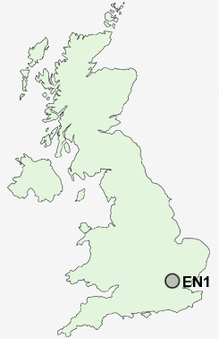
Postcode : EN1, Greater London, Essex
Postcodes in the EN1 sector. Covering areas such as Enfield, Broxbourne, Rye Park, Turnford, Hailey, Spitalbrook, Hoddesdon, Wormley, Bulls Cross, Forty Hill, Goose Green, Woollensbrook, Wormleybury, Wormley West End, Hertfordshire and Greater London in Enfield, Greater London, Essex.
Postcode Area EN : Enfield
EN1 Postcode Sectors
EN1 Nearby Postcode Districts
AL1 AL2 AL9 CM14 CM15 CM16 CM5 E10 E11 E17 E18 E4 E5 EN1 EN10 EN2 EN3 EN4 EN5 EN6 EN7 EN8 EN9 HA1 HA2 HA3 HA4 HA5 HA6 HA7 HA8 HA9 IG1 IG10 IG2 IG3 IG4 IG5 IG6 IG7 IG8 IG9 N10 N11 N12 N13 N14 N15 N16 N17 N18 N19 N2 N20 N21 N22 N3 N4 N5 N6 N7 N8 N9 NW11 NW2 NW4 NW7 NW9 RM1 RM11 RM12 RM14 RM2 RM3 RM4 RM5 RM6 RM7 RM8 WD1 WD17 WD18 WD19 WD2 WD23 WD24 WD25 WD4 WD5 WD6 WD7
Stations near to EN1
Bush Hill Park Rail Station about 0.8 miles away.Enfield Chase Rail Station about 1.06 miles away.
Brimsdown Rail Station about 1.52 miles away.
Edmonton Green Rail Station about 1.95 miles away.
Enfield Lock Rail Station about 2.03 miles away.
Crews Hill Rail Station about 2.79 miles away.
Angel Road Rail Station about 2.9 miles away.
Cheshunt Rail Station about 3.89 miles away.
EN1 Schools
Kingsmead SchoolBush Hill Park Primary School
Chace Community School
Enfield County School
Edmonton County School
Starks Field Primary School
Capel Manor Primary School
UK Search
Antique Jewellery
including Antique Engagement Rings for sale from UK Antique specialists.