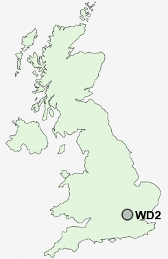
Postcode : WD2, Hertfordshire
Postcodes in the WD2 sector. Covering areas such as Leavesden Green, Merry Hill, Bushey, Woodside, Kingswood, Patchetts Green, North Watford, Caldecote Hill, Aldenham, Bushey Heath, Garston, Oxhey, High Cross, Meriden and Hertfordshire.
Postcode Area WD : Watford
WD2 Postcode Sectors
WD2 Nearby Postcode Districts
AL1 AL10 AL2 AL9 E10 E11 E17 E4 EN1 EN10 EN11 EN2 EN3 EN4 EN5 EN6 EN7 EN8 EN9 HA1 HA2 HA3 HA4 HA5 HA6 HA7 HA8 HP1 HP10 HP11 HP13 HP15 HP16 HP2 HP3 HP4 HP5 HP6 HP7 HP8 HP9 N10 N11 N12 N13 N14 N15 N17 N18 N2 N20 N21 N22 N3 N4 N6 N8 N9 NW11 NW4 NW7 NW9 SL7 SL8 SL9 UB9 WD1 WD17 WD18 WD19 WD2 WD23 WD24 WD25 WD3 WD4 WD5 WD6 WD7
Stations near to WD2
Watford North Rail Station about 0.82 miles away.Watford Junction Rail Station about 0.84 miles away.
Watford High Street Rail Station about 1.17 miles away.
Garston (Herts) Rail Station about 1.37 miles away.
Bushey Rail Station about 1.51 miles away.
Bushey Rail Station about 1.52 miles away.
Carpenders Park Rail Station about 2.7 miles away.
Bricket Wood Rail Station about 2.76 miles away.
WD2 Schools
Berrygrove Primary and Nursery SchoolBournehall Primary School
Nascot Wood Infant and Nursery School
Nascot Wood Junior School
Bromet Primary School
Laurance Haines School
UK Search
Antique Furniture
1000s of pieces of Antique Furniture for sale from British antique dealers.