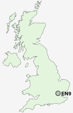
Postcode : EN9, Essex
Postcodes in the EN9 sector. Covering areas such as Nazeing, Holyfield, Harknett's Gate, Broadley Common, Claverhambury, Nazeing Long Green, Upshire, Lower Nazeing, Nazeing Gate, Waltham Abbey, Nazeing Mead, Wood Green, Bumble's Green, Copthall Green and Essex.
Postcode Area EN : Enfield
EN9 Postcode Sectors
EN9 2 Aimes Green, Broadley Common, Bumble's Green, Claverhambury, Harknett's Gate
EN9 3 Copthall Green, Upshire, Wood Green
EN9 3 Copthall Green, Upshire, Wood Green
EN9 Nearby Postcode Districts
AL1 AL10 AL2 AL3 AL4 AL9 CM13 CM14 CM15 CM16 CM17 CM18 CM19 CM20 CM4 CM5 E4 EN1 EN10 EN11 EN2 EN3 EN4 EN5 EN6 EN7 EN8 EN9 HA7 HA8 IG10 IG7 IG8 IG9 N11 N12 N13 N14 N17 N18 N20 N21 N22 N3 N9 NW7 RM3 RM4 RM5 SG13 WD2 WD23 WD6 WD7
Stations near to EN9
Cheshunt Rail Station about 1.71 miles away.Waltham Cross Rail Station about 1.87 miles away.
Theobalds Grove Rail Station about 2.1 miles away.
Enfield Lock Rail Station about 2.47 miles away.
Brimsdown Rail Station about 3.33 miles away.
EN9 Schools
King Harold SchoolWaltham Holy Cross Junior School
Waltham Holy Cross Primary School
The Leverton Infant and Nursery School
Leverton Primary School
Upshire Primary Foundation School
Holdbrook Primary School
UK Search
Antique Jewellery
including Antique Engagement Rings for sale from UK Antique specialists.