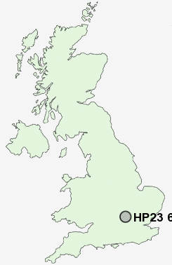
Postcode : HP23 6, Hertfordshire
Postcodes in the HP23 6 district. Covering areas such as Buckland Common, Chivery, Hastoe, Lanes End, Wigginton Bottom, Wigginton, Cholesbury, St Leonards and Hertfordshire in Buckinghamshire.
Postcode Area HP : Hemel Hempstead
HP23 Postcode Sectors
HP23 5 Aldbury, Barley End, Bulbourne, Cow Roast, New Ground
HP23 4 Astrope, Gubblecote, Little Tring, Long Marston, Marsworth
HP23 4 Astrope, Gubblecote, Little Tring, Long Marston, Marsworth
HP23 6 Nearby Postcode Districts
AL1 AL2 AL3 AL4 AL5 HP1 HP16 HP17 HP18 HP19 HP2 HP20 HP21 HP22 HP23 HP27 HP3 HP4 HP5 HP6 LU1 OX39 OX9 WD25 WD4 WD5 WD7
Stations near to HP23 6
Tring Rail Station about 1.97 miles away.HP23 6 Schools
St Bartholomew's Church of England Voluntary Aided Primary School, WiggintonTring Park School for the Performing Arts
Bishop Wood Church of England Junior School, Tring
Goldfield Infants' and Nursery School
Tring School
Francis House Preparatory School
Dundale Primary School and Nursery
Grove Road Primary School
Hawridge and Cholesbury Church of England School
UK Search
Antique Jewellery
including Antique Engagement Rings for sale from UK Antique specialists.