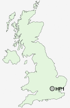
Postcode : HP1, Hertfordshire
Postcodes in the HP1 sector. Covering areas such as Swan Bottom, Grendon Underwood, Little London, Loudwater, Piddington, Great Hampden, Upper Winchendon, Widmer End, Coombe, Chearsley, Lower Hartwell, Beacon Hill, Edgcott, Stone, Wooburn, Buckinghamshire and Hertfordshire in Herefordshire.
Postcode Area HP : Hemel Hempstead
HP1 Postcode Sectors
HP1 Nearby Postcode Districts
AL1 AL10 AL2 AL3 AL4 AL5 AL6 AL7 AL8 AL9 EN2 EN6 HP1 HP15 HP16 HP17 HP19 HP2 HP20 HP21 HP22 HP23 HP27 HP3 HP4 HP5 HP6 HP7 SG14 WD17 WD2 WD24 WD25 WD4 WD5 WD6 WD7
Stations near to HP1
Hemel Hempstead Rail Station about 0.88 miles away.Apsley Rail Station about 1.89 miles away.
Kings Langley Rail Station about 3.97 miles away.
HP1 Schools
Micklem Primary SchoolThe Cavendish School
Gade Valley Primary School
The Hemel Hempstead School
Lime Walk Primary School
Adeyfield School
The Hammond Primary School
Aycliffe Drive Primary School
The Reddings Primary School
Belswains Primary School
UK Search
Antique Jewellery
including Antique Engagement Rings for sale from UK Antique specialists.