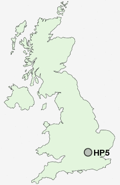
Postcode : HP5, Buckinghamshire
Postcodes in the HP5 sector. Covering areas such as Pond Park, Hilltop, Pednormead End, Codmore, Orchard Leigh, Chartridge, Ashley Green, Chessmount, Waterside, Lye Green, Tyler's Hill, Pednor Bottom, Ley Hill, Latimer and Buckinghamshire.
Postcode Area HP : Hemel Hempstead
HP5 Postcode Sectors
HP5 2 Asheridge, Bellingdon, Chartridge, Great Hivings, Pednor Bottom
HP5 3 Ashley Green, Codmore, Hilltop, Lye Green, Newtown
HP5 3 Ashley Green, Codmore, Hilltop, Lye Green, Newtown
HP5 Nearby Postcode Districts
AL1 AL10 AL2 AL3 AL4 AL8 HP1 HP11 HP12 HP13 HP14 HP15 HP16 HP17 HP2 HP21 HP22 HP23 HP27 HP3 HP4 HP5 HP6 HP7 HP8 NW7 OX39 OX49 OX9 WD1 WD17 WD18 WD19 WD2 WD23 WD24 WD25 WD3 WD4 WD5 WD6 WD7
Stations near to HP5
Amersham Rail Station about 2.61 miles away.Chalfont & Latimer Rail Station about 3.65 miles away.
HP5 Schools
Newtown SchoolElmtree Infant and Nursery School
Chesham High School
Chesham Park Community College
Little Spring School
Thomas Harding Junior School
Waterside Combined School
Ley Hill School
UK Search
Antique Jewellery
including Antique Engagement Rings for sale from UK Antique specialists.