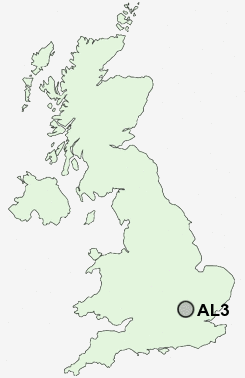
Postcode : AL3, Hertfordshire
Postcodes in the AL3 sector. Covering areas such as Trowley Bottom, Bernards Heath, Redbournbury, Gorhambury, Childwick Green, St Stephens, Church End, Flamstead, New Greens, Cheverell's Green, Redbourn, Roe End, Townsend, Childwick Bury and Hertfordshire.
Postcode Area AL : St Albans
AL3 Postcode Sectors
AL3 5 Bernards Heath, Townsend
AL3 8 Cheverell's Green, Flamstead, Markyate, Roe End, Trowley Bottom
AL3 6 Childwick Bury, Childwick Green, Gorhambury, New Greens, Redbournbury
AL3 8 Cheverell's Green, Flamstead, Markyate, Roe End, Trowley Bottom
AL3 6 Childwick Bury, Childwick Green, Gorhambury, New Greens, Redbournbury
AL3 Nearby Postcode Districts
AL1 AL10 AL2 AL3 AL4 AL5 AL6 AL7 AL8 AL9 EN10 EN11 EN6 EN7 EN8 EN9 HP1 HP16 HP2 HP22 HP23 HP3 HP4 HP5 HP6 LU1 LU6 SG12 SG13 SG14 SG3 WD25 WD4 WD5 WD7
Stations near to AL3
St Albans Abbey Rail Station about 2.58 miles away.St Albans City Rail Station about 2.63 miles away.
Harpenden Rail Station about 2.65 miles away.
AL3 Schools
Margaret Wix Primary SchoolGarden Fields Junior Mixed and Infant School
St Albans Girls' School
UK Search
Antique Clocks
Browse Antique Clocks for sale from British antique dealers.