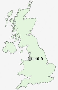
Postcode : L10 9, Sefton, Merseyside
Postcodes in the L10 9 district. Covering areas such as Fazakerley and Sefton in Merseyside.
Postcode Area L : Liverpool
L10 Postcode Sectors
L10 9 Nearby Postcode Districts
CH41 CH42 CH43 CH44 CH45 CH46 CH47 CH48 CH49 L1 L10 L11 L12 L13 L14 L15 L16 L17 L18 L2 L20 L21 L22 L23 L25 L26 L27 L28 L29 L3 L30 L31 L32 L33 L34 L35 L36 L37 L38 L4 L5 L6 L69 L7 L70 L8 L9 WA1 WA10 WA11 WA12 WA2 WA3 WA4 WA5 WA8 WA9 WN1 WN2 WN3 WN4 WN5 WN8
Stations near to L10 9
Fazakerley Rail Station about 0.63 miles away.Rice Lane Rail Station about 1.45 miles away.
Aintree Rail Station about 1.45 miles away.
Orrell Park Rail Station about 1.46 miles away.
Walton (Merseyside) Rail Station about 1.61 miles away.
Kirkby Rail Station about 1.98 miles away.
Old Roan Rail Station about 1.99 miles away.
Maghull Rail Station about 3.1 miles away.
L10 9 Schools
Fazakerley High SchoolRanworth Square Primary School
Croxteth Community Comprehensive School
Rice Lane Junior School
Aintree Davenhill Primary School
Northcote Primary School
Alsop High School Technology & Applied Learning Specialist College
UK Search
Antique Jewellery
including Antique Engagement Rings for sale from UK Antique specialists.