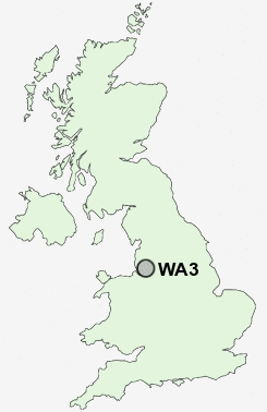
Postcode : WA3, Warrington, Cheshire
Postcodes in the WA3 sector. Covering areas such as Fowley Common, Lowton Common, Rixton, Lowton Heath, Hollins Green, Kenyon, Lane Head, New Lane End, Croft, Lowton St Mary's, Risley, Hollinfare, Golborne, Twiss Green and Warrington in Greater Manchester, Cheshire.
Postcode Area WA : Warrington
WA3 Postcode Sectors
WA3 1 Aspull Common, Lane Head, Lowton Common, Lowton Heath, Lowton St Mary's
WA3 6 Birchwood, Gorse Covert, Hollinfare, Hollins Green, Oakwood
WA3 7 Croft, Kenyon, Locking Stumps, New Lane End
WA3 6 Birchwood, Gorse Covert, Hollinfare, Hollins Green, Oakwood
WA3 7 Croft, Kenyon, Locking Stumps, New Lane End
WA3 4 Culcheth, Little Town, Twiss Green
WA3 5 Fowley Common, Glazebrook, Glazebury
WA3 2 Golborne, Lowton
WA3 5 Fowley Common, Glazebrook, Glazebury
WA3 2 Golborne, Lowton
WA3 Nearby Postcode Districts
BL4 BL5 L10 L11 L12 L13 L14 L15 L16 L17 L18 L19 L25 L26 L27 L28 L31 L32 L33 L34 L35 L36 L7 M1 M11 M12 M13 M14 M15 M16 M17 M18 M19 M2 M20 M21 M22 M23 M24 M25 M27 M28 M29 M3 M30 M31 M32 M33 M35 M38 M4 M40 M41 M43 M44 M45 M46 M5 M6 M60 M7 M8 M9 M90 SK1 SK3 SK4 SK5 SK8 WA1 WA10 WA11 WA12 WA13 WA14 WA15 WA2 WA3 WA4 WA5 WA8 WA9 WN2 WN3 WN4 WN5 WN7 WN8
Stations near to WA3
Birchwood Rail Station about 2.94 miles away.Padgate Rail Station about 3.28 miles away.
WA3 Schools
Croft Primary SchoolTwiss Green Community Primary School
Newchurch Community Primary School
Lowton Junior and Infant School
Lowton High School A Specialist Sports College
Culcheth Community Primary School
Culcheth High School
Gilded Hollins Community School
UK Search
Antique Furniture
1000s of pieces of Antique Furniture for sale from British antique dealers.