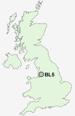
Postcode : BL5, Bolton, Greater Manchester
Postcodes in the BL5 sector. Covering areas such as Chequerbent, Hollins, Over Hulton, Four Gates, Daisy Hill, Wingates, Greenheys, Cooper Turning, Hilton House, Hart Common, Westhoughton, Hunger Hill, Water's Nook and Bolton in Greater Manchester.
Postcode Area BL : Bolton
BL5 Postcode Sectors
BL5 3 Chequerbent, Cooper Turning, Four Gates, Hilton House, Hunger Hill
BL5 2 Daisy Hill, Hart Common, Westhoughton
BL5 2 Daisy Hill, Hart Common, Westhoughton
BL5 Nearby Postcode Districts
BL0 BL1 BL2 BL3 BL4 BL5 BL6 BL7 BL8 BL9 L32 L33 L39 L40 M1 M11 M12 M13 M15 M16 M17 M18 M2 M24 M25 M26 M27 M28 M29 M3 M30 M32 M34 M35 M38 M4 M40 M41 M43 M45 M46 M5 M6 M60 M7 M8 M9 OL10 OL11 OL12 OL16 OL8 OL9 PR7 WA10 WA11 WA12 WA3 WN1 WN2 WN3 WN4 WN5 WN6 WN7 WN8
Stations near to BL5
Westhoughton Rail Station about 0.58 miles away.Daisy Hill Rail Station about 0.66 miles away.
Hag Fold Rail Station about 1.33 miles away.
Lostock Rail Station about 1.86 miles away.
Atherton Rail Station about 2.02 miles away.
Horwich Parkway Rail Station about 2.25 miles away.
BL5 Schools
Westhoughton High SchoolWashacre Primary School
The Gates Primary School
Eatock Primary School
Meadowbank Primary School & Children's Centre
UK Search
Antique Clocks
Browse Antique Clocks for sale from British antique dealers.