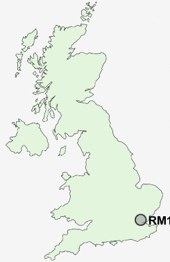
Postcode : RM14 3, Greater London, Havering, Greater London
Postcodes in the RM14 3 district. Covering areas such as North Ockendon, Bulphan and Greater London in Essex, Havering, Greater London.
Postcode Area RM : Romford
RM14 Postcode Sectors
RM14 3 Nearby Postcode Districts
CM11 CM12 CM13 CM14 CM15 DA1 DA16 DA17 DA18 DA6 DA7 DA8 DA9 E1 E10 E11 E12 E13 E14 E15 E16 E17 E18 E1W E2 E3 E4 E5 E6 E7 E8 E9 EC1V EC1Y EC2 EC2A EC2M EC2N EC2R EC2V EC2Y EC3 EC3A EC3M EC3N EC3P EC3R EC3V EC4 EC4M EC4N EC4R EC4V IG1 IG11 IG2 IG3 IG4 IG5 IG6 IG7 IG8 IG9 N1 N15 N16 N17 N18 N21 N4 N5 N9 RM1 RM10 RM11 RM12 RM13 RM14 RM15 RM16 RM17 RM18 RM19 RM2 RM20 RM3 RM4 RM5 RM6 RM7 RM8 RM9 SE1 SE10 SE13 SE14 SE15 SE16 SE17 SE18 SE2 SE22 SE24 SE28 SE3 SE4 SE5 SE7 SE8 SS0 SS11 SS12 SS13 SS14 SS15 SS16 SS17 SS5 SS6 SS7 SS8 SS9
Stations near to RM14 3
Ockendon Rail Station about 1.69 miles away.Upminster Rail Station about 2.25 miles away.
Upminster Rail Station about 2.25 miles away.
West Horndon Rail Station about 2.36 miles away.
RM14 3 Schools
The James Oglethorpe Primary SchoolBenyon Primary School
The Coopers' Company and Coborn School
UK Search
Antique Furniture
1000s of pieces of Antique Furniture for sale from British antique dealers.